Many of you will already know that FSC has a long standing strategic partnership with ESRI UK. This Partnership gives FSC free access to industry leading GIS (Geographic Information Systems) software for use in our educational courses and elsewhere in the business of the charity.
Through this partnership FSC have become recognised as a leader in the use of GIS for education, adding value to our GCSE and A Level courses for both students and teachers.
In 2017 ArcGIS Online (the main GIS service we use with school groups) became free to all schools – to coincide with this launch FSC produced a Fold Out Chart – “Using GIS to Support Geographical Enquiry” which is available to buy from the Publications Shop, or to download as PDF for free, and added a new section to our free support website geography-fieldwork.org.
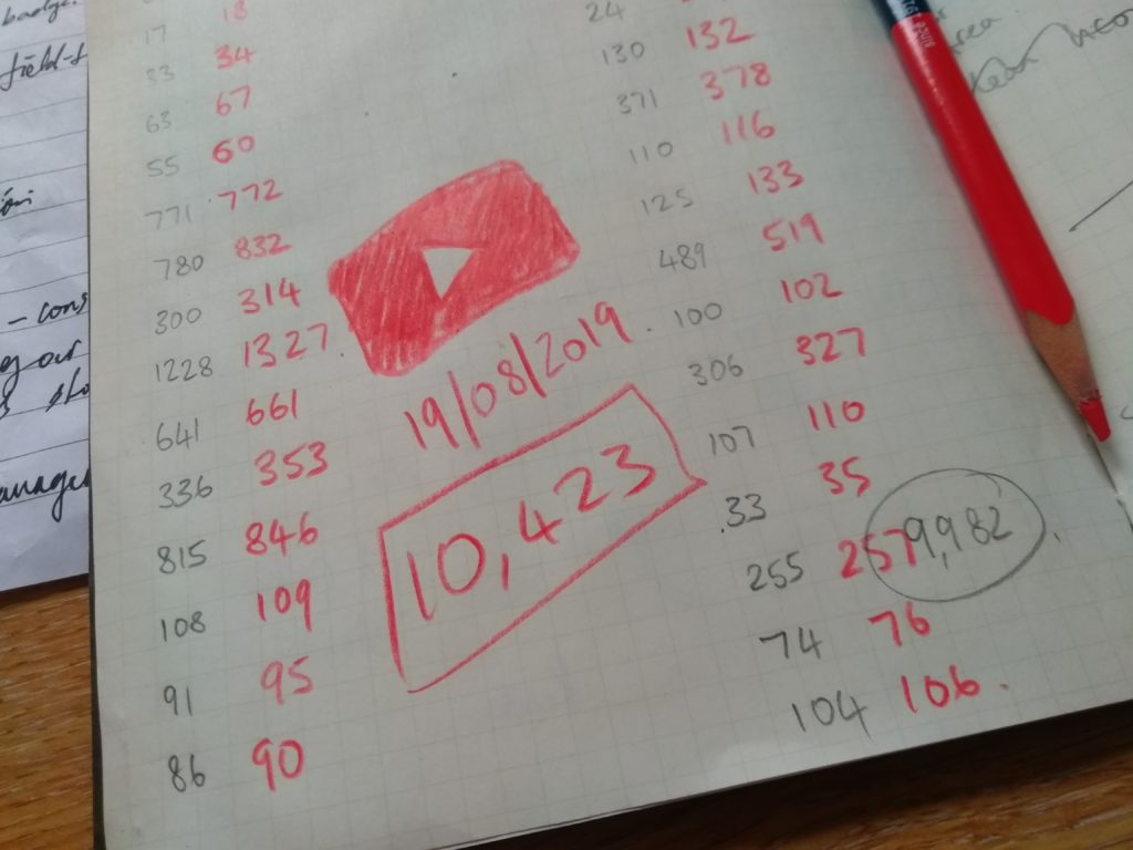
The website included a range of “How-To” videos for both students and teachers – Excitingly, this month we exceeded 10,000 views on those videos!
“Whilst we are some way from Celebrity YouTuber status, its nice to know that our work is being seen and used! With the BBC’s tendency towards inviting YouTube stars on Strictly Come Dancing its only a matter of time!”
David Morgan, Education Product Development Office
We recently met with the Education team from ESRI UK and both FSC are committed to working together, using cutting edge geospatial technology to further improve our educational product and broaden our reach. We are also exploring how we can exploit GIS to help us manage our estates with a focus on buildings, safety, maintenance and maximising ecosystem service benefits.